Dallas, TX
Forward Dallas Land Use Plan
Dallas Forward gave the city a more transparent and resilient approach to managing growth, pairing long-range land use policy with digital tools that support clearer decisions and broader public understanding.

Client
City of Dallas
Type
Comprehensive Land Use Plan
Population
1,326,000
Year Adopted
September 2021
Scale
City-Wide
Service Line
Planning, Geospatial


Planning Beyond Static Maps
Showing How Policy Shapes the City.
Dallas had outgrown the assumptions of its 2006 comprehensive plan. After years of rapid growth, mounting housing pressures, and increasing attention to equity, access, and neighborhood change, the city needed more than a routine update. It needed a planning process that would help staff, decision-makers, and residents better understand tradeoffs and see how policy choices could shape the city over time.

A More Interactive Planning Process
Transparent, Data-Driven, and Dynamic.
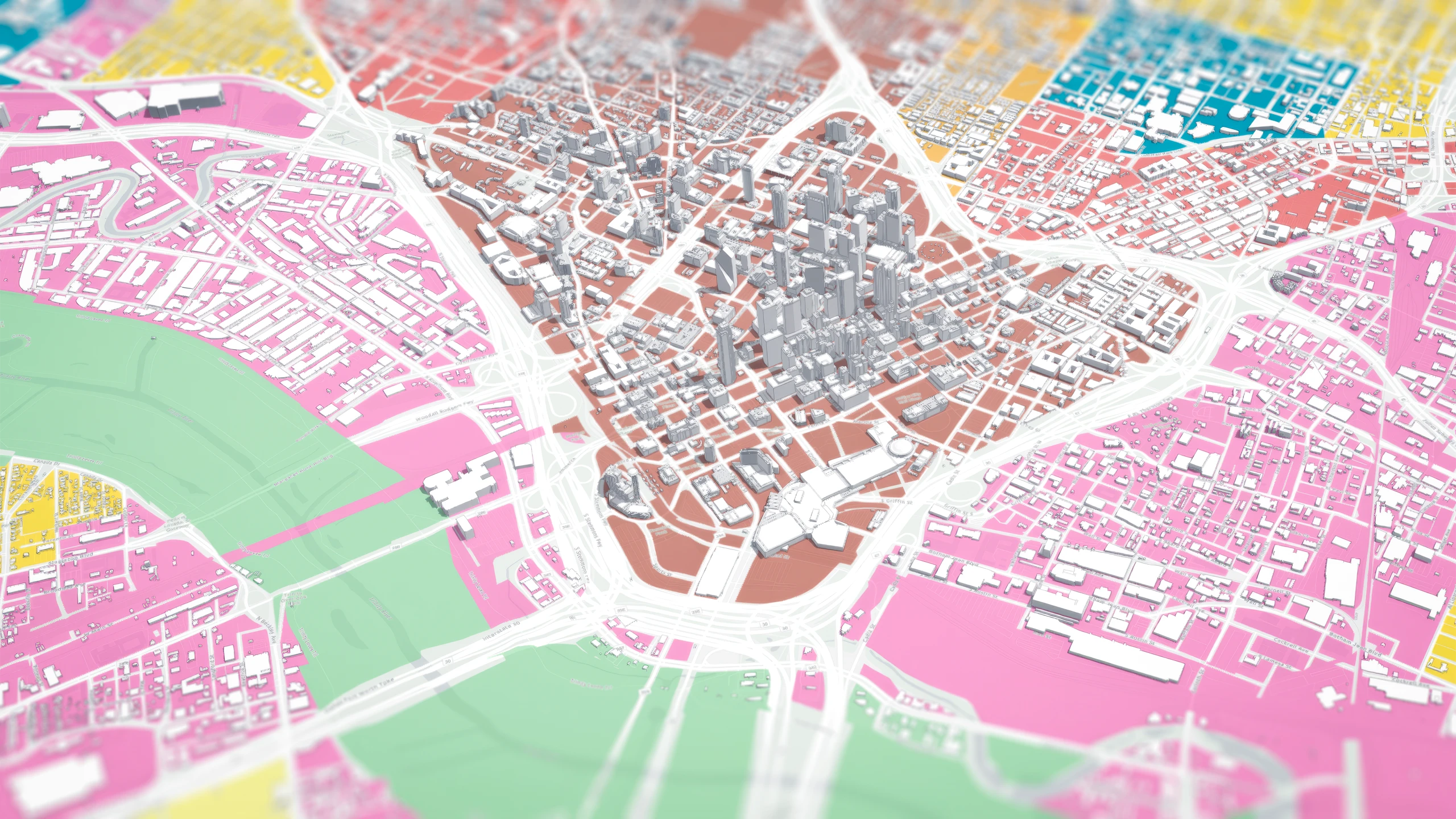
Houseal Lavigne worked alongside City staff to make Dallas Forward a more transparent, data-driven, and interactive effort. Rather than relying solely on static maps and conventional graphics, the project used geospatial analysis, scenario modeling, dashboards, and 3D visualization to test ideas and communicate future land use in more accessible ways. This digital framework helped evaluate conditions across eight study areas, compare alternatives, and connect policy direction to measurable community priorities.
Bringing Growth Scenarios to Life
Enabling Grounded Conversations.
A defining element of the project was the use of ArcGIS Urban, CityEngine, and related dashboard tools to visualize future placetypes and land use concepts. Interactive models enabled the team to test policies against real-world conditions, while immersive visualizations helped residents and stakeholders see and respond to complex planning ideas. The process shifted public discussion from abstract policy debates to more grounded conversations about growth, housing, and neighborhood change.

A Modern Framework for Citymaking
A Clear Direction for the Future.
The result was more than an adopted land use plan. Dallas Forward established a modern planning framework for one of the nation’s largest cities – one built around transparency, performance, and a stronger connection between data, public engagement, and long-term citymaking.
Key Ideas / Focus Areas
- A data-driven land use planning process for a fast-growing major city
- Scenario modeling used to test development outcomes and policy choices
- Interactive dashboards and portals that improved transparency for staff and the public
- Immersive 3D visualization that made future placetypes and growth patterns easier to understand
- An integrated framework linking housing, equity, connectivity, and land use
Highlights
A Decision-Making Platform.
01
Citywide Scale.
A land use plan for a city of 1.3 million people.
02
Interactive Planning.
From static planning to interactive decision-making.
03
Scenario Modeling.
Scenario modeling used to evaluate future growth choices.
04
3D Visualization.
3D placetype visualizations that made policy easier to understand.
05
Geospatial Transparency.
Geospatial tools supporting a more transparent planning process.