
Spatial Intelligence That Powers Better Planning.
Geospatial intelligence is not a separate service at Houseal Lavigne – it is the foundation of how we plan, design, analyze, and communicate. By integrating GIS, spatial analytics, digital twins, procedural modeling, and visualization across every project, we help clients better understand existing conditions, test future scenarios, and make more informed decisions.
As an Esri Gold Partner, we combine industry-leading geospatial technology with planning, urban design, and visualization to transform complex data into clear insight. Our team brings deep expertise across the ArcGIS ecosystem—including ArcGIS Pro, ArcGIS Online, ArcGIS Enterprise, ArcGIS Urban, CityEngine, Business Analyst, Experience Builder, and Survey123—to help communities make smarter, more informed decisions. Technology is never the end goal—it is the engine that helps communities see opportunities, evaluate alternatives, and confidently shape what comes next.
Putting geospatial data to work.
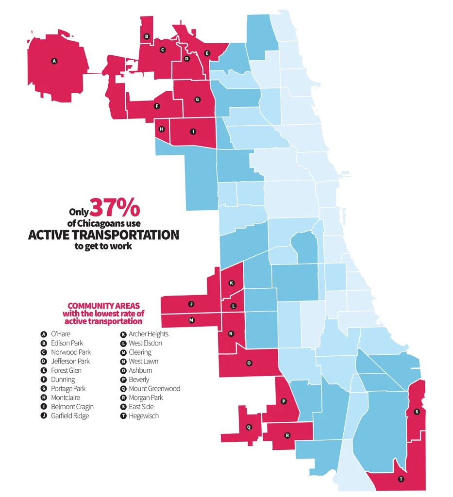
Spatial Analysis + Scenario Modeling
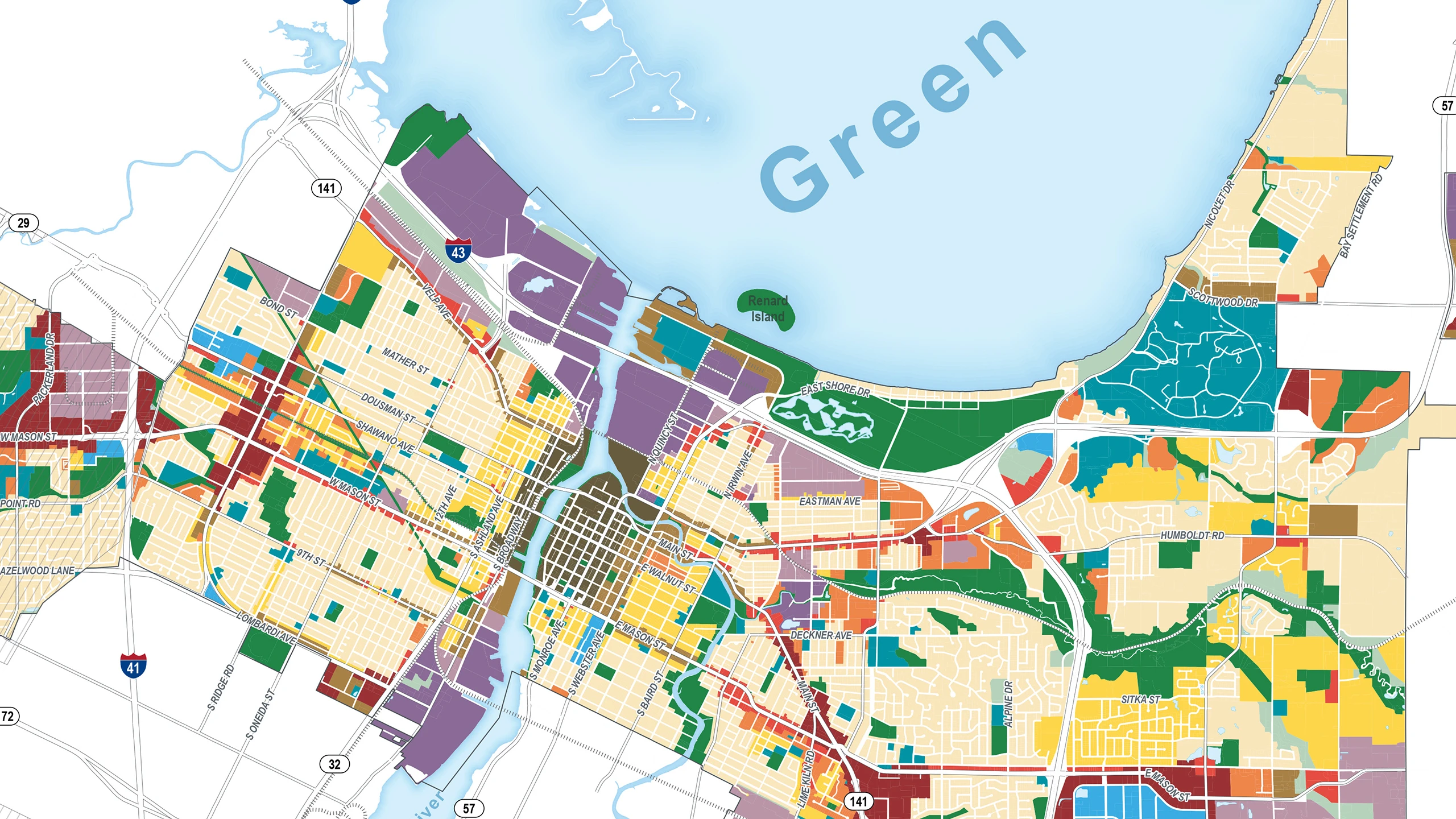
We use geospatial analysis to reveal patterns, test alternatives, and evaluate future growth scenarios. From housing capacity and redevelopment potential to infrastructure and mobility, our work transforms data into actionable planning intelligence.
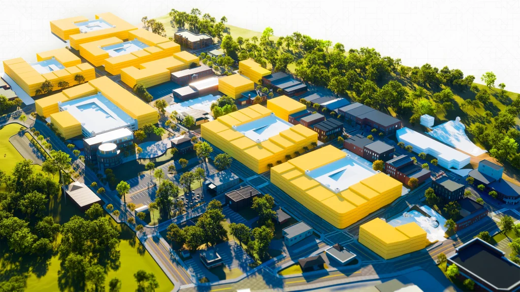
Digital Twins + Immersive Visualization
We connect GIS with procedural modeling, game engines, and 3D visualization to create immersive environments that help communities explore future scenarios before decisions are made. These tools strengthen engagement, improve understanding, and build confidence in complex planning initiatives.
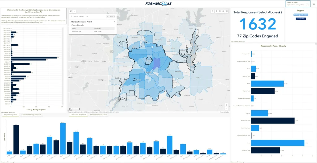
Enterprise GIS + Esri Solutions
As an Esri Gold Partner, we help clients maximize the value of their GIS investment through enterprise systems, ArcGIS Online, ArcGIS Urban, CityEngine, dashboards, applications, and custom geospatial workflows that extend well beyond traditional mapping.
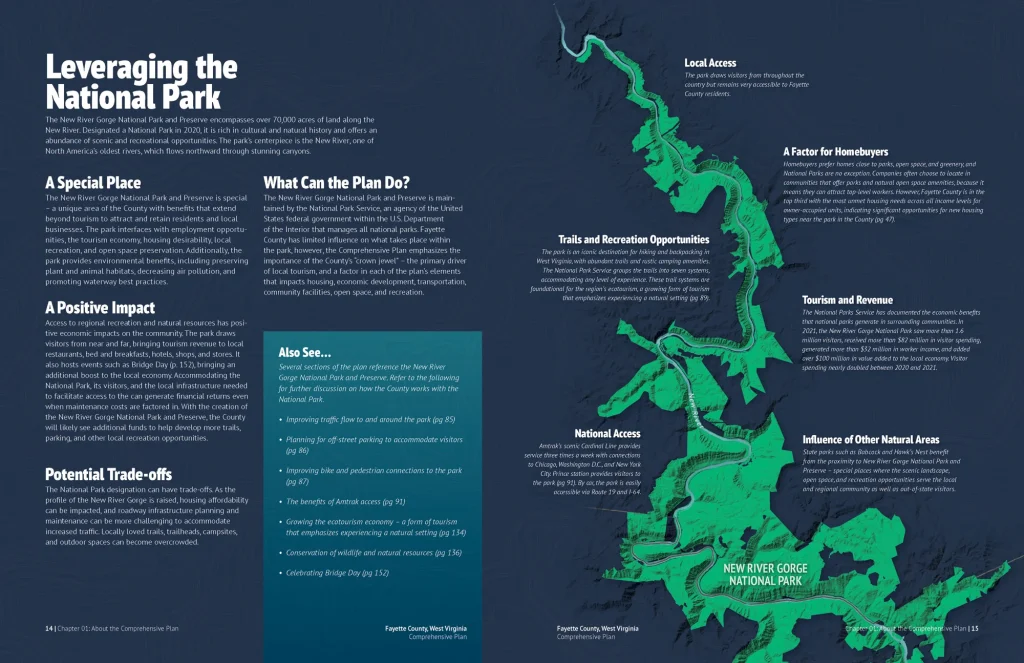
From Data to Decisions
Technology alone does not solve problems. Our strength lies in integrating geospatial intelligence with planning, urban design, and policy to create solutions that are technically rigorous, visually compelling, and built for implementation.
“Understanding place is the foundation of shaping its future.”